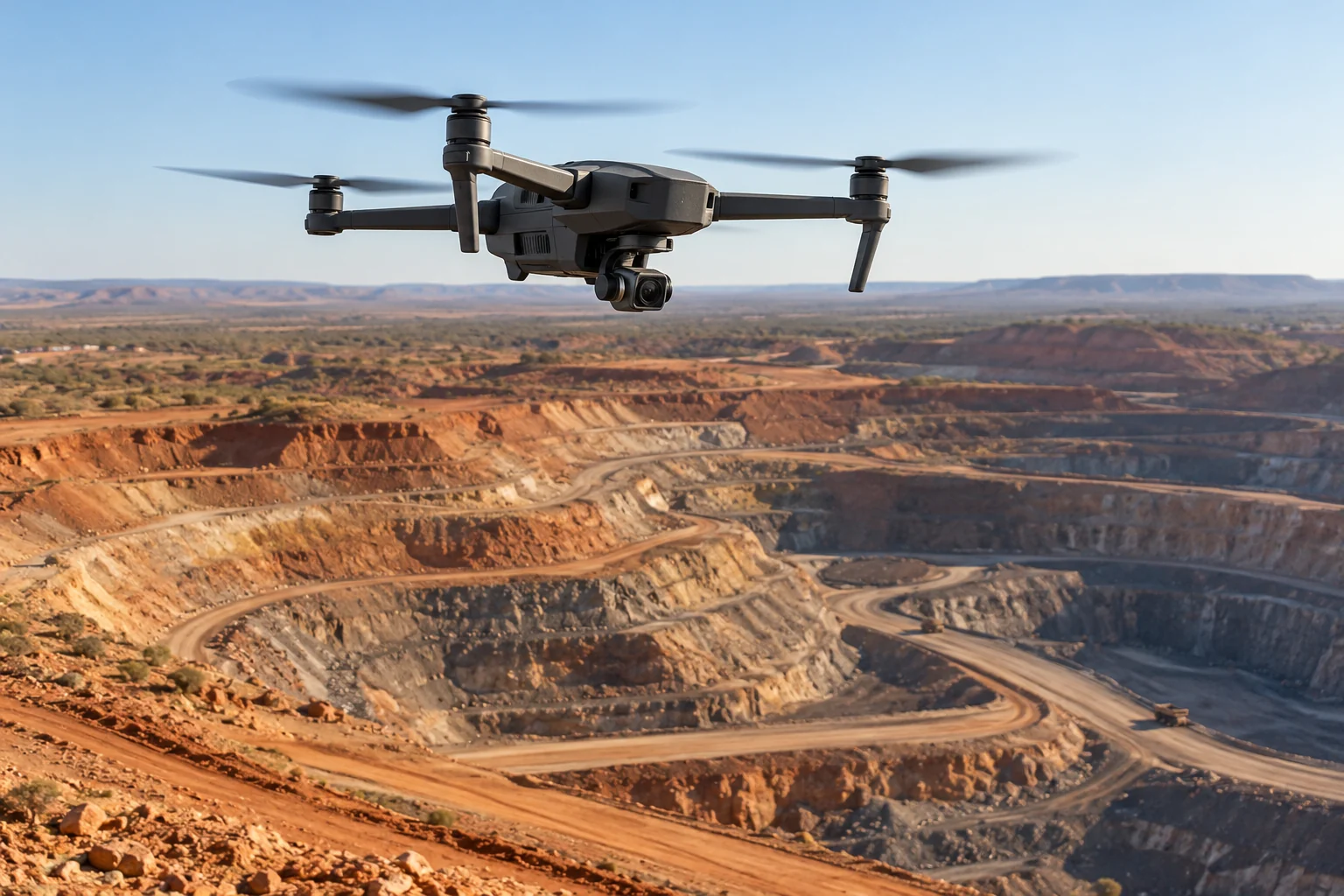
01 · Capture
Aerial capture.
Plan repeat routes and collect georeferenced imagery for the survey task.

01 · Capture
Plan repeat routes and collect georeferenced imagery for the survey task.
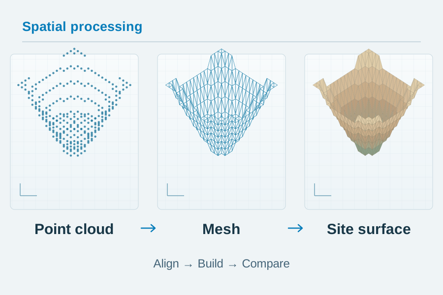
02 · Process
Build point clouds and textured meshes from overlapping imagery, then compare repeat surveys with project-specific checks.
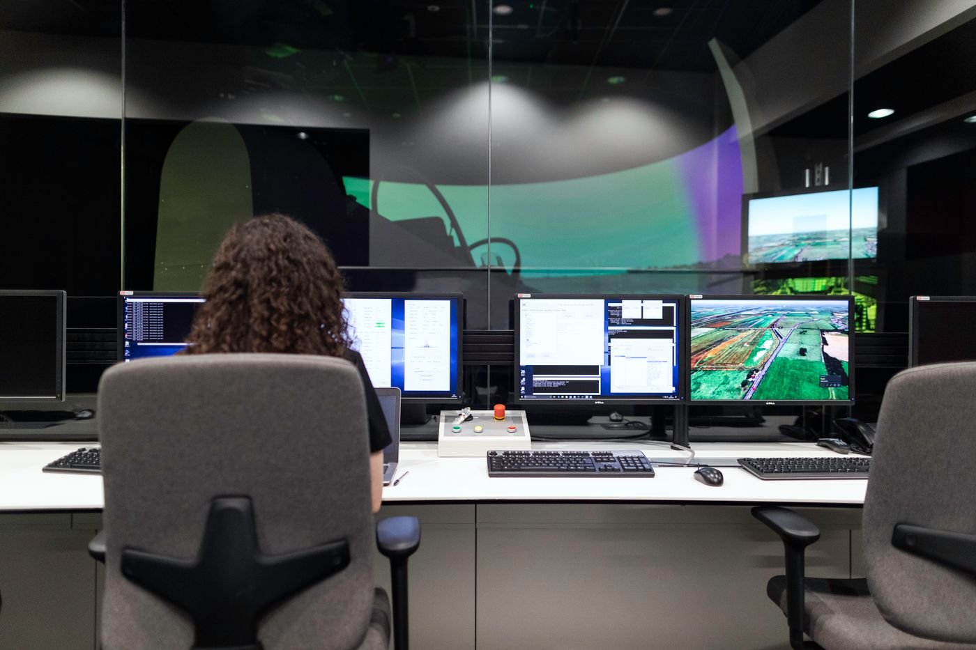
03 · Remote operations
Supervise missions and share imagery, models and survey history through one platform.
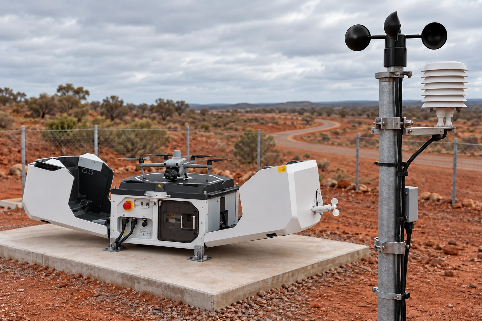
Dock & site sensing
Take-off, landing, charging and weather sensing within an approved site operating plan.
Survey aircraft: Matrice 4 Series, Matrice 300 RTK and Matrice 400.
Drone dock: DJI Dock 3.
Dock 3 operates with Matrice 4D or Matrice 4TD aircraft.
Data handling
Australian storage and processing, controlled access and security arrangements tailored to each client.
All client imagery, models and survey records are stored and processed on our servers in Australia; no client survey data is sent offshore for processing.
Only authorised Maxvision staff and nominated client users can access survey data, with access logging and retention or deletion managed to each client's requirements.
We support client security policies, including on-premises processing and air-gapped data workflows, with applicable SOCI Act requirements considered during project scoping.