Mining & resources
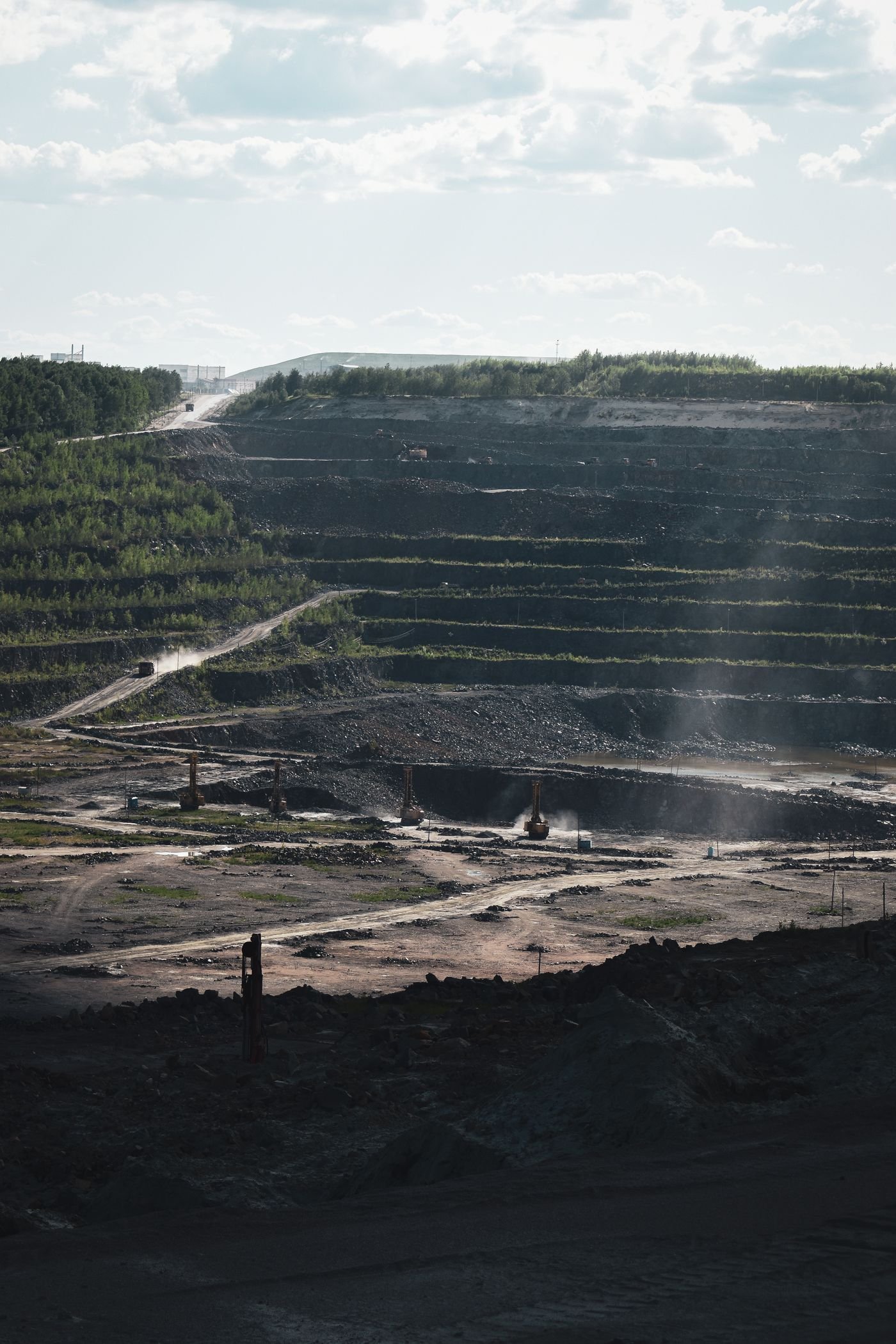
Terrain models, stockpile volumes and repeat surveys of changing mine sites.
Discuss your site
Home / Industries
Aerial surveys and site data for mining and infrastructure teams.
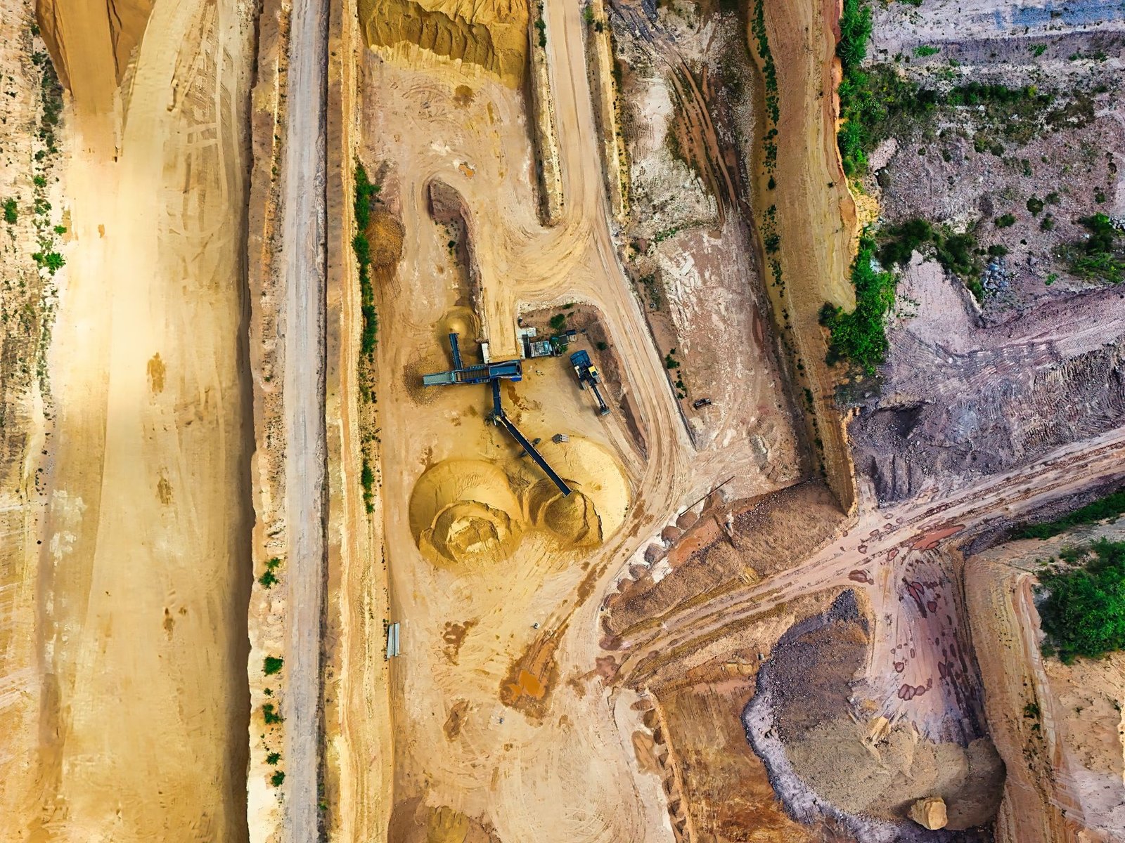
Terrain models, stockpile volumes and repeat surveys of changing mine sites.
Discuss your site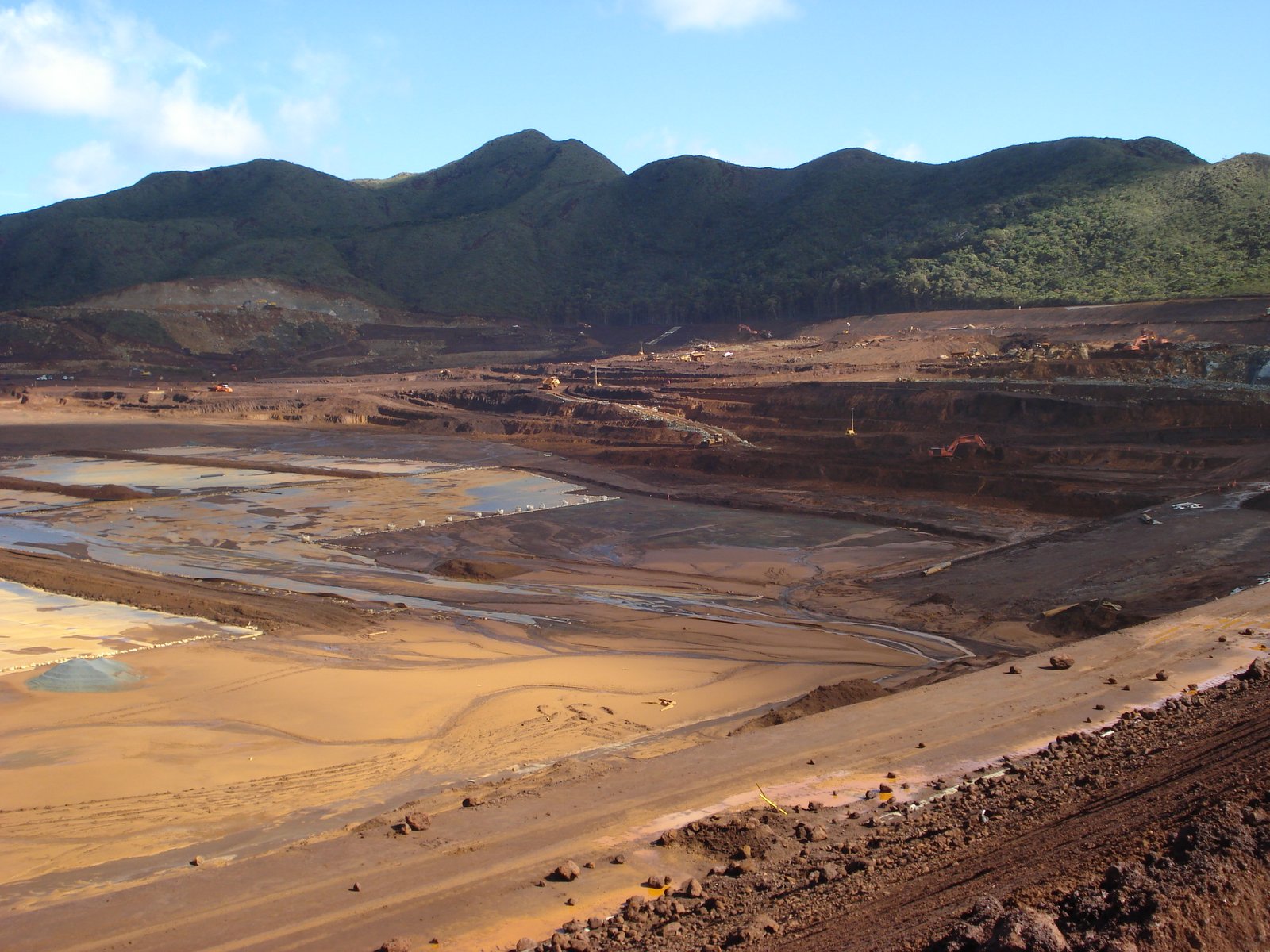
Pond extent, beach boundaries and visible embankment change between surveys.
Discuss your site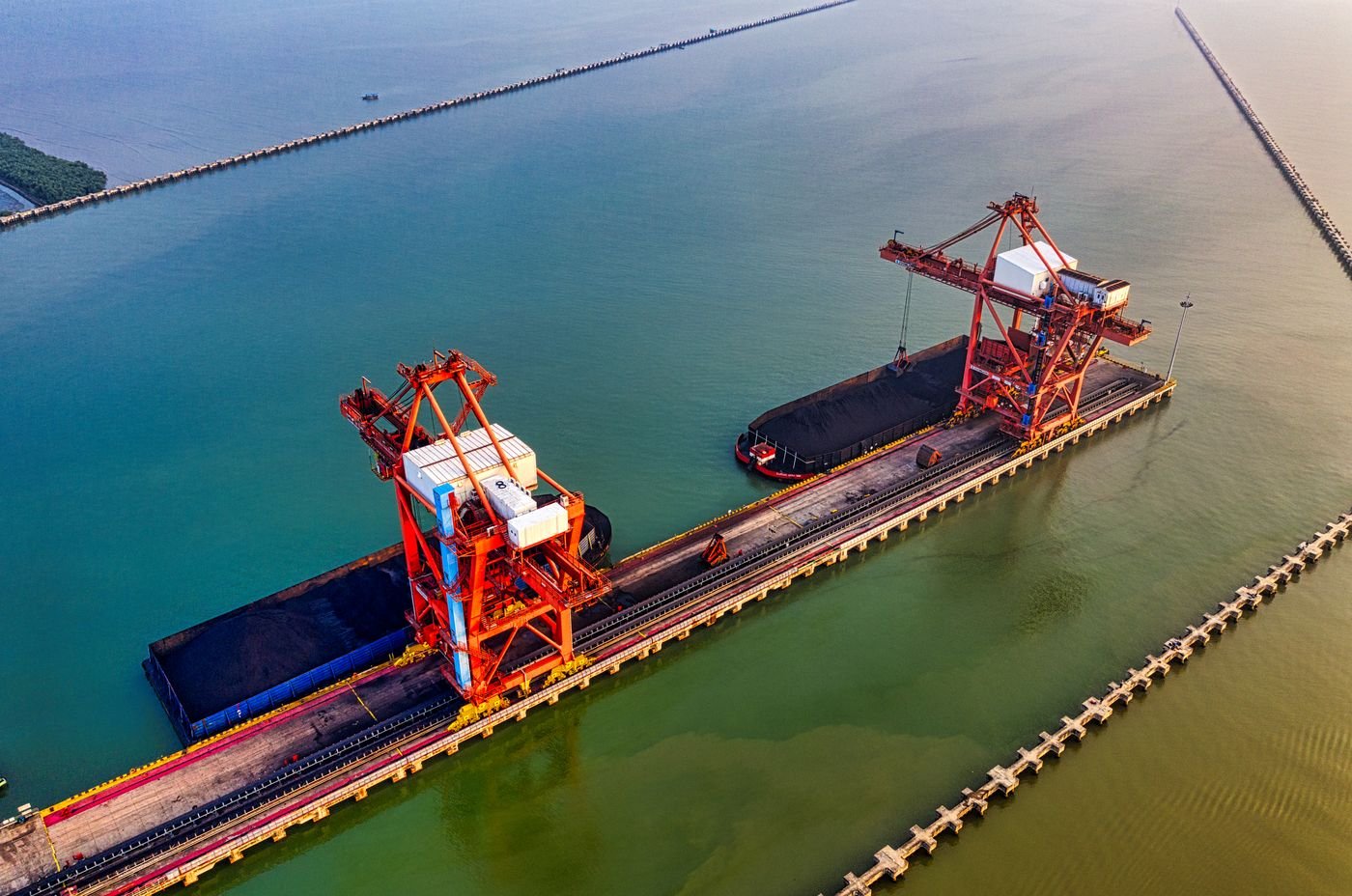
Aerial inspection records for dispersed infrastructure and hard-to-access assets.
Discuss your site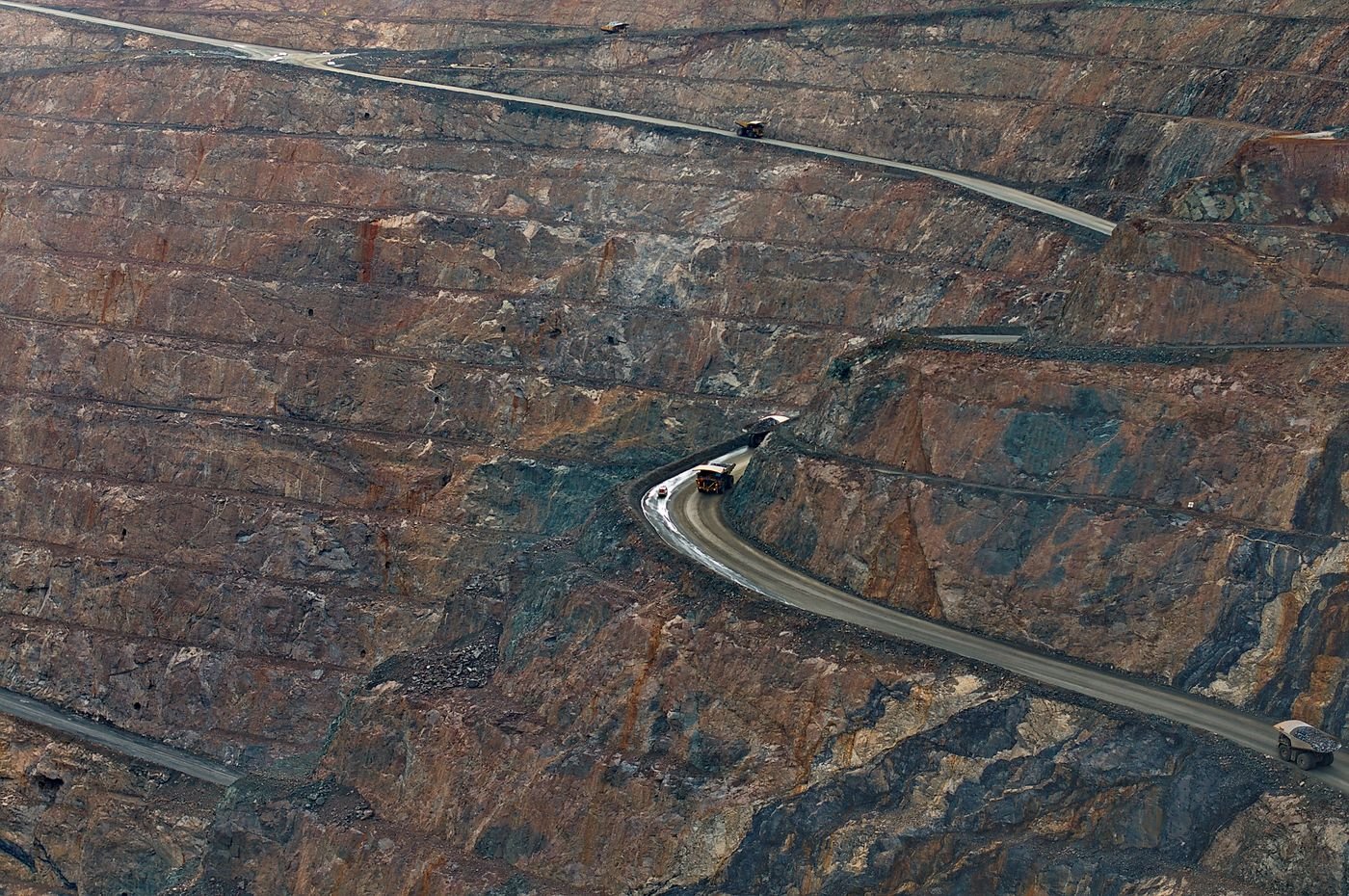
Road surface, drainage and corridor observations along repeat survey routes.
Discuss your site