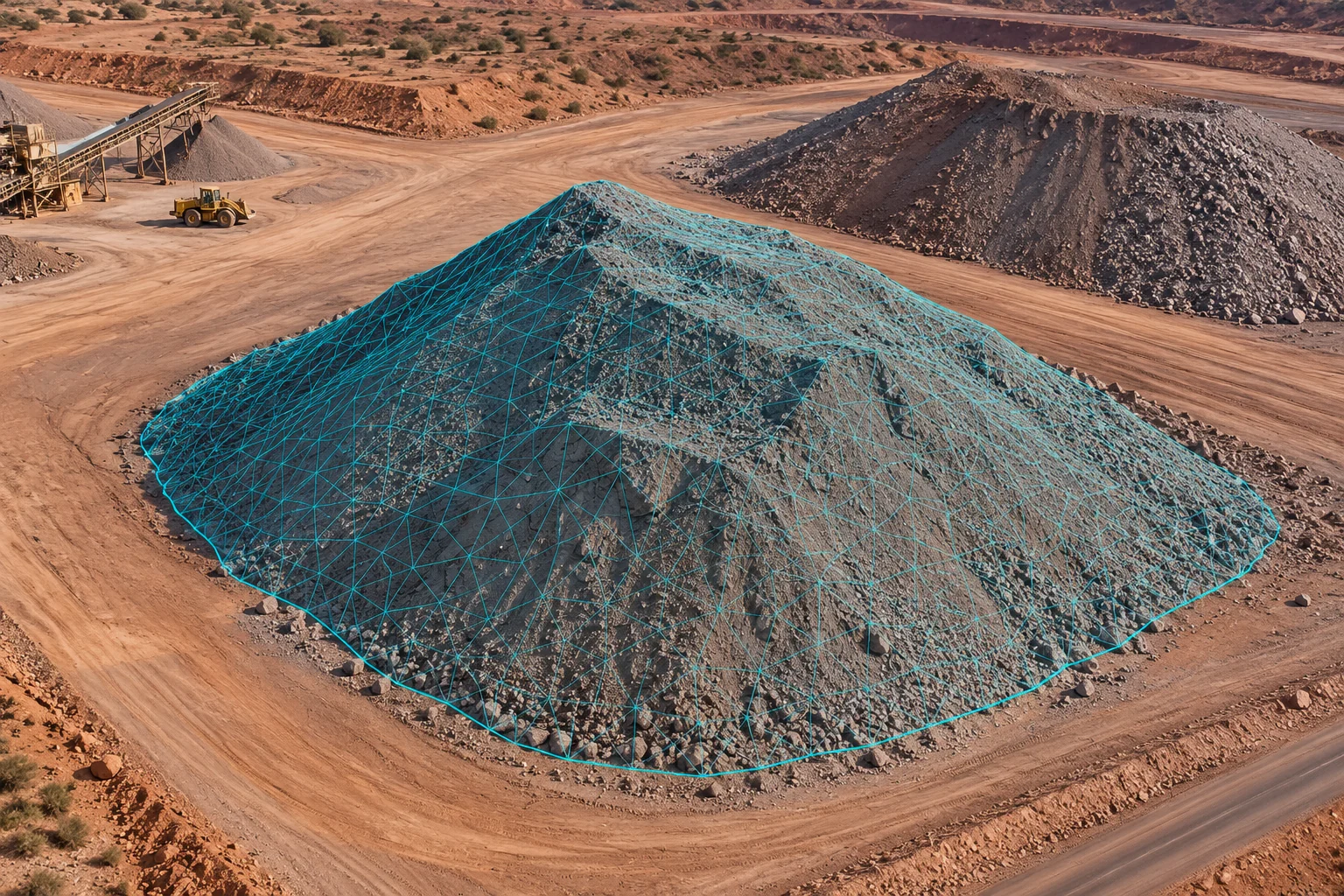
Stockpile & terrain models
Compare 3D surfaces and volume changes for inventory and earthworks reviews.

Home / Outputs
Connect repeat surveys with outputs your team can review.
Deliverables
A visual guide to the models, maps and survey records we can deliver.
Compare 3D surfaces and volume changes for inventory and earthworks reviews.
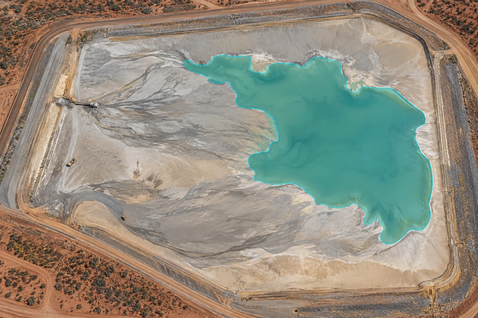
Track the observed pond extent across repeated tailings facility surveys.
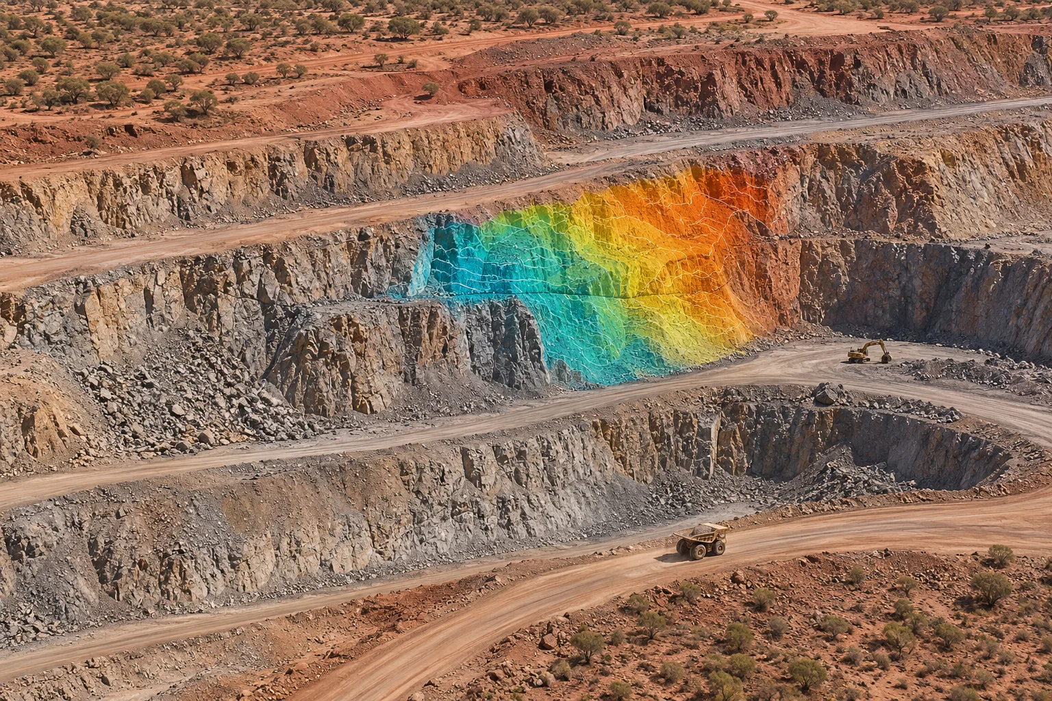
Highlight surface changes for specialist interpretation and follow-up.
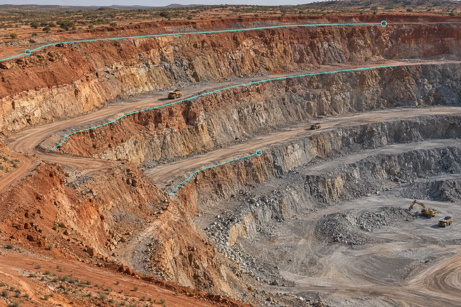
Review slope geometry and surface observations within agreed monitoring procedures.
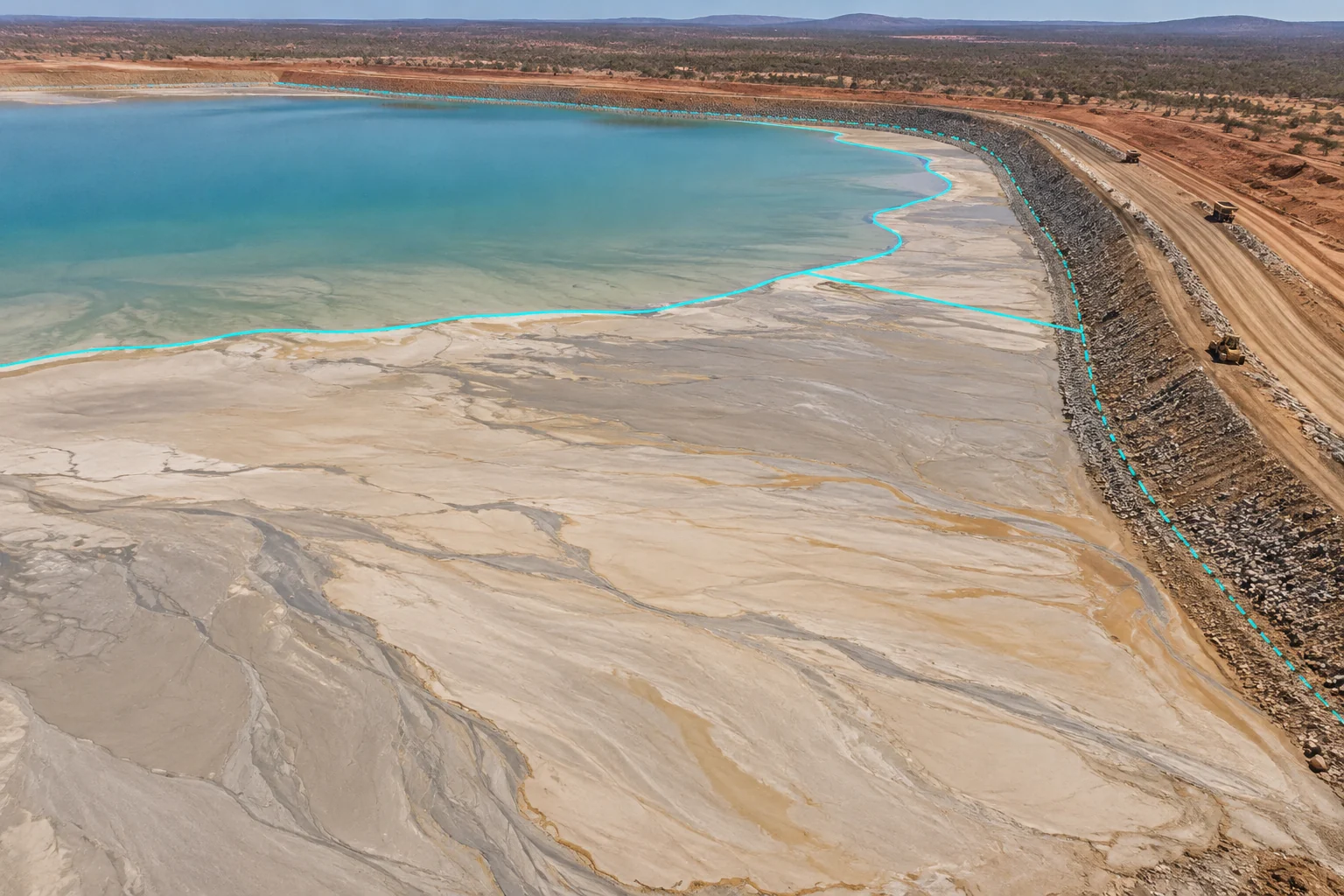
Compare beach boundaries and distances to the embankment between surveys.
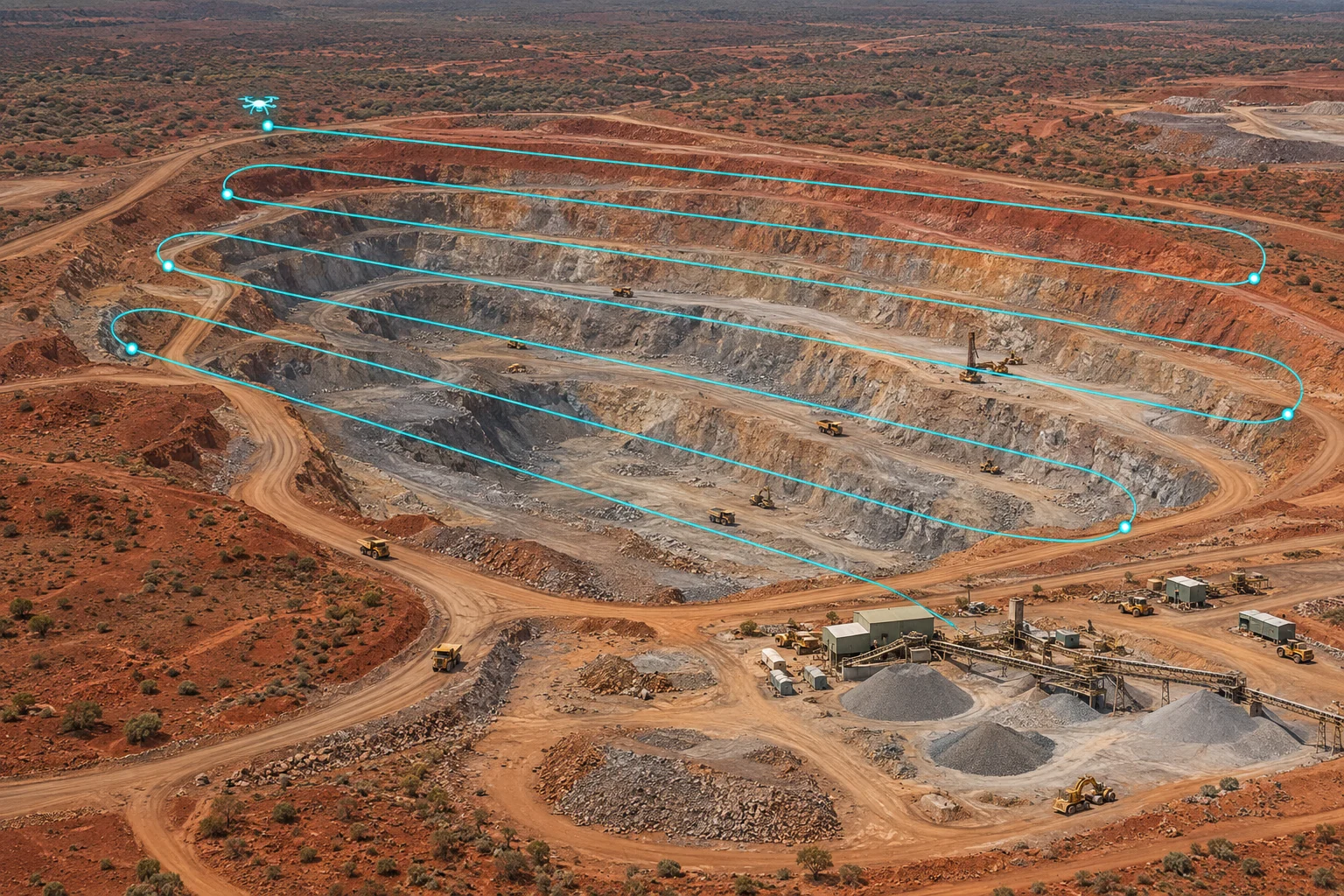
Review capture routes, inspection findings and historical data in one platform.