Safety
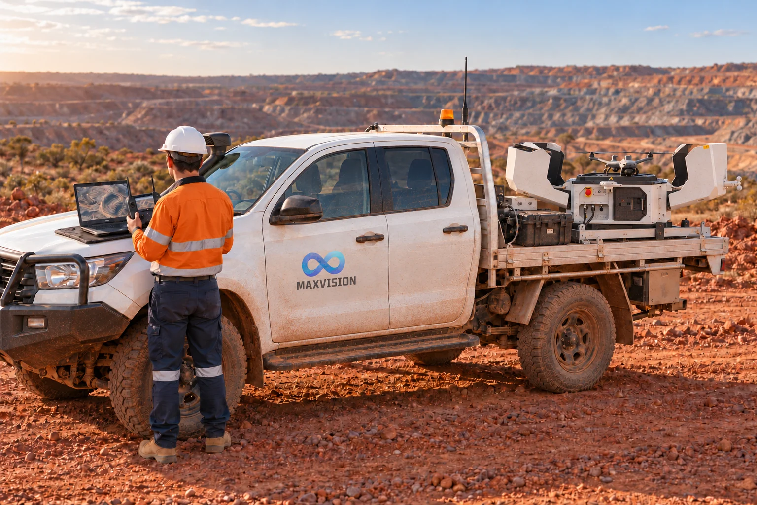
Put people and site safety at the centre of each survey.

Home / About
Drone docks, 3D models and reporting for mining and infrastructure.
Who we are
Maxvision Technology is a spatial intelligence and aerial robotics company founded and based in Perth, Western Australia. We combine autonomous drone docks, remote sensing and data processing for mining and infrastructure teams. Our workflow connects aerial capture with 3D site models, volume reports and survey comparisons for planning and monitoring.
Our purpose
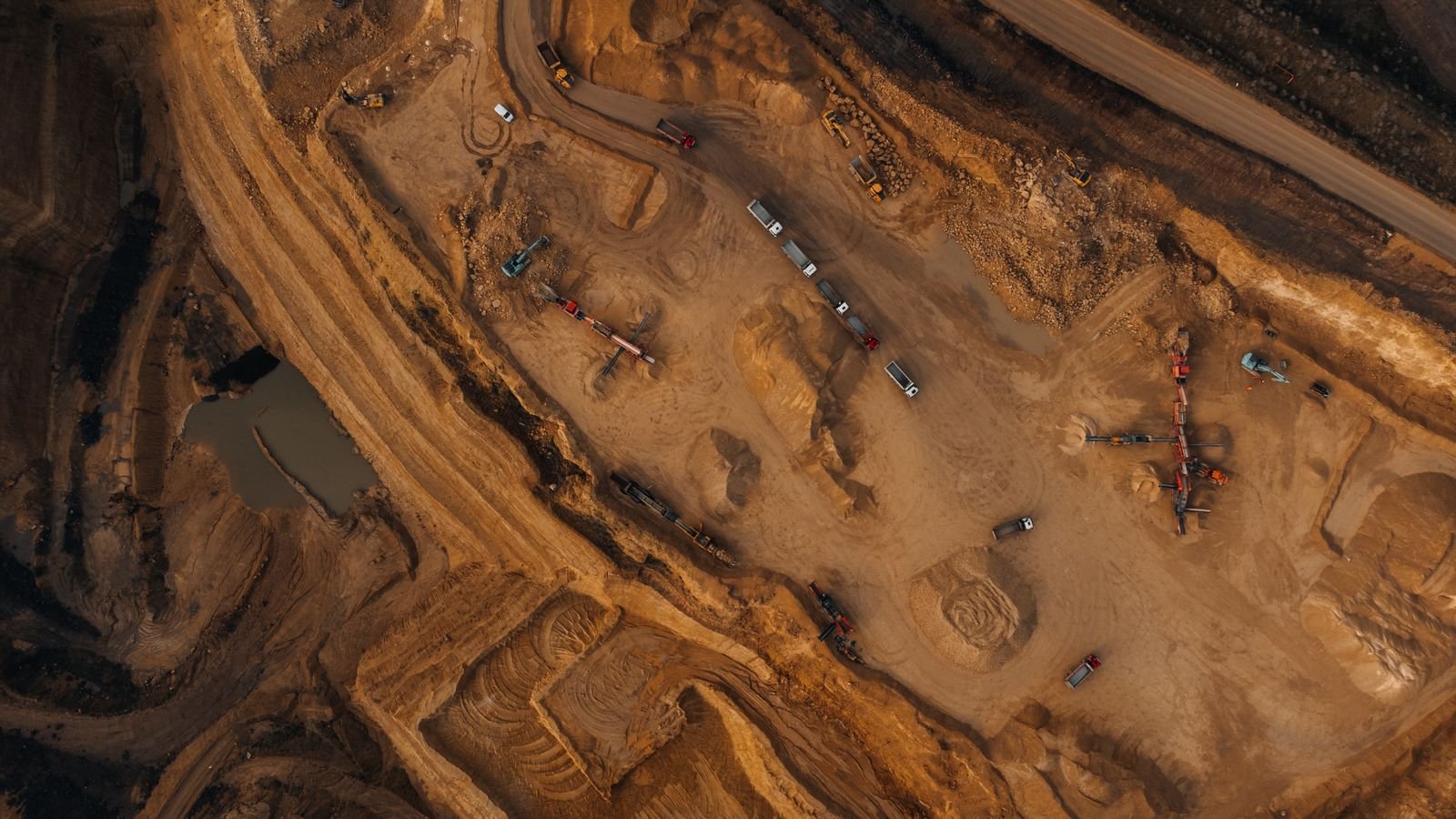
We help mining and infrastructure teams understand site change through drone surveys, 3D models and repeat monitoring, reducing the need to enter difficult-to-access areas and turning survey data into practical decisions.
What guides us
Put people and site safety at the centre of each survey.
Be clear about what the data shows, how it was checked and where its limits lie.
Deliver models and reports that support everyday site decisions.
Explore better ways to capture, understand and use site data.
Our team
Founder & Managing Director
Lisa leads Maxvision’s strategy, partnerships and corporate governance.
She oversees financial management and capital planning, and develops partnerships supporting UAS and sensor-based infrastructure inspection.
Technical Director
Jia leads technology strategy and systems integration, connecting drone data with digital twin workflows.
His background spans digital transformation, industrial automation and enterprise systems, with experience at Microsoft, Lenovo and Siemens and postgraduate qualifications from École des Ponts ParisTech and EPFL.
Lead Pilot & Data Analyst
Leo manages flight planning, operational safety and the processing of survey data into models and inspection reports.
He coordinates airspace requirements and operational risk assessments, and processes survey imagery and LiDAR data into 3D models and inspection reports.
Project Manager & Business Development Manager
Angus coordinates client engagement, commercial proposals and project delivery.
He supports tenders, contracts and stakeholder coordination, keeping project scope, delivery milestones and commercial requirements aligned.