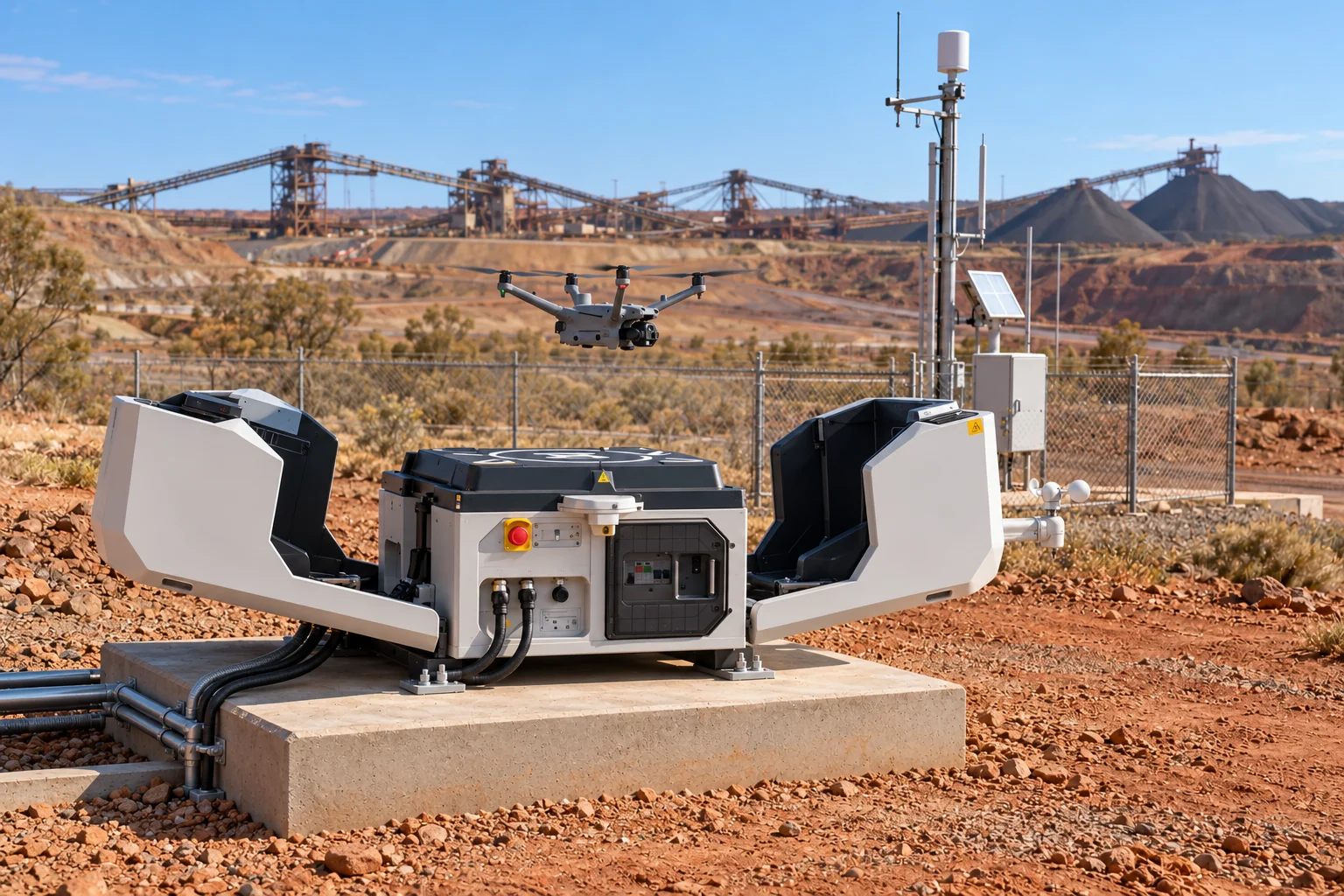
Service 01
Autonomous drone surveys
Plan dock-based repeat surveys and collect site imagery under remote supervision, subject to site conditions and applicable flight approvals.

Home / Services
Capture your site, measure changes and give your team clear records to review.
Service 01
Plan dock-based repeat surveys and collect site imagery under remote supervision, subject to site conditions and applicable flight approvals.
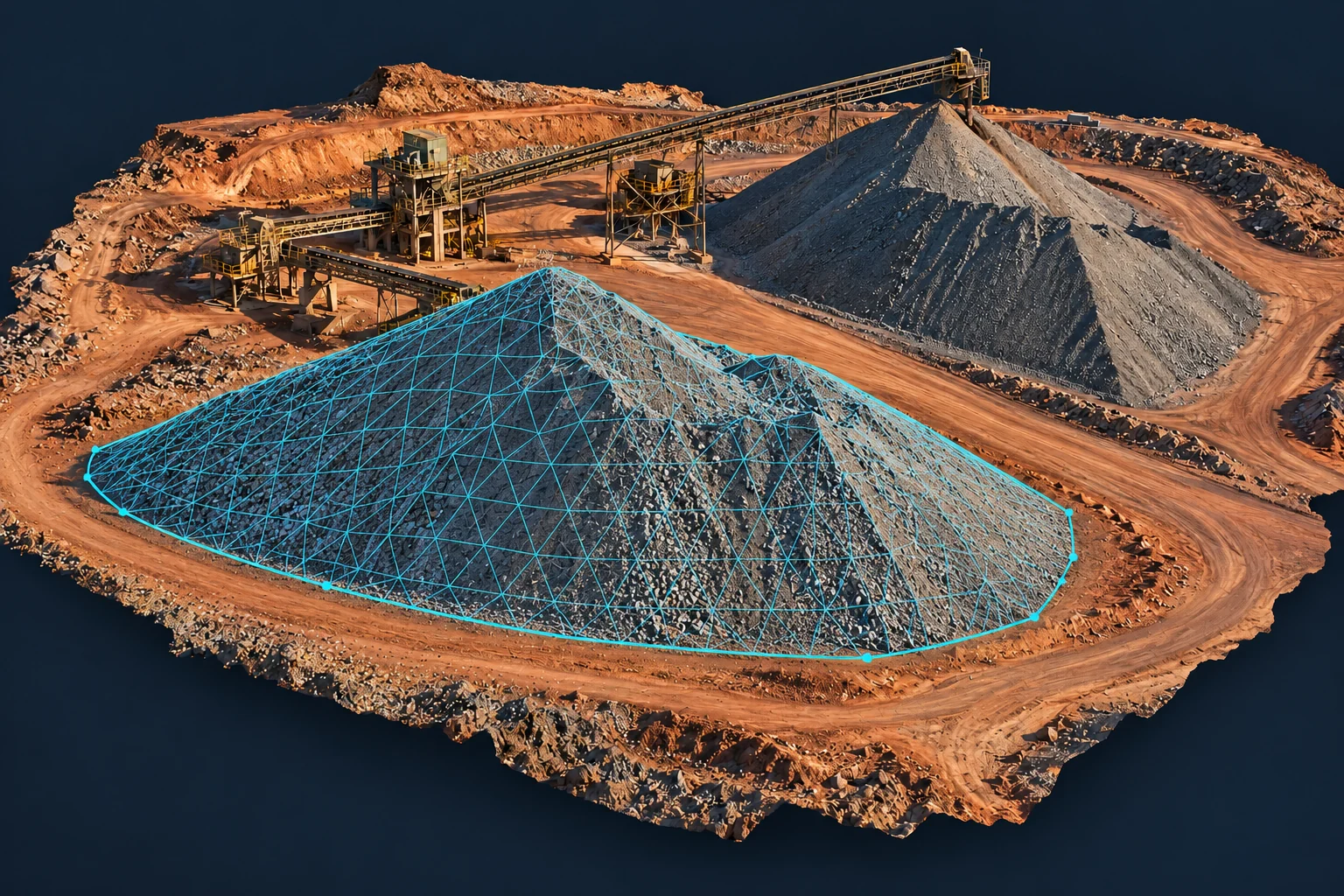
Service 02
Turn drone imagery into 3D site models and stockpile or earthworks volume reports.
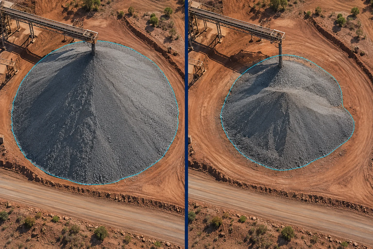
Service 03
Compare repeat surveys to track terrain, stockpile, tailings and rehabilitation changes.
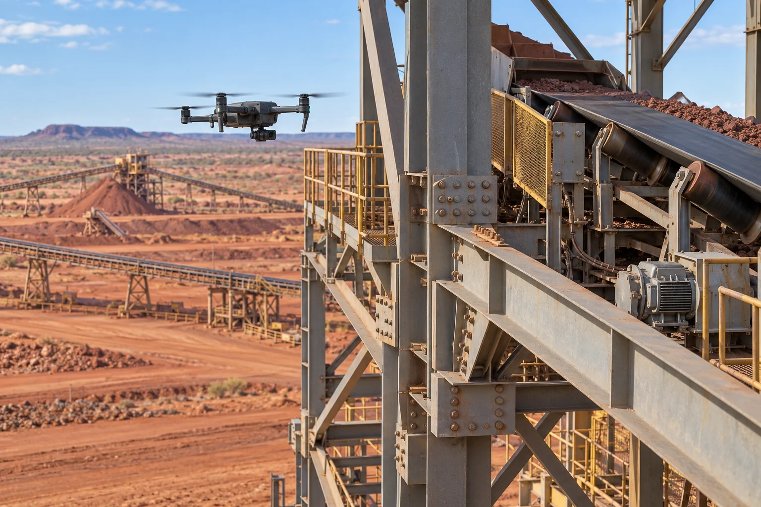
Service 04
Capture detailed imagery of conveyors, structures and infrastructure for condition records and specialist review.
How we work
A clear survey brief, followed by the models and reports you need.
Agree coverage, accuracy checks and survey frequency.
Set up the flight plan and collect site imagery.
Process the data and share models, comparisons and reports.
Aerial observations complement existing instruments; they do not establish stability or certify facility safety.
Imagery records visible condition; defect and leak detection require suitable sensors and follow-up checks.